The Brothers, Olympic National Forest
June 14, 2008
Flashback to February and Mount Hood "We're going to spend a lot of time in purgatory for this one," I told Wayne. He nodded in agreement. Kevin offered a time estimate that ran into the years. We had the greatest weather in the history of the mountain for our climb: Crystal skies, no wind, stunning sunrise. Wayne and I were definitely in weather-debt, especially considering our five days of perfection on the Bailey Traverse in the Olympics. We didn't see so much as a cloud in September, making the traverse of the best hiking experiences I've had. I was paying for it now.

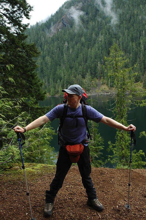
I had failed to summit my last two times, once due to route finding issues (I didn't even bother to write up our experience) and once due to weather. I had to summit this weekend and break the curse. And I came up with a simple plan that we couldn't screw up. The weather forecast was excellent, with light clouds Saturday morning giving way to stunning summer weather across the entire state. Peter and I would climb the Brothers and bivy on top, enjoying the sunset over the big interior peaks of the Olympics, views down to the lights of Seattle and Tacoma at night, and see the sun come up over Mount Rainier in the morning. All we had to do was climb 6200 vertical feet to do it.
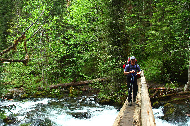
The light rain that fell at the Lena Lake trailhead didn't dissuade us: The weather would get better. Every forecaster knew it. They had confidence in it. Weathermen in Washington don't express confidence in public unless they are really, really, really sure. The clouds hulked over us, but they would go away. It didn't matter anyways, because we'd be in the trees for about six miles, and by the time we covered the distance to Lena Forks and the start of the climb it would be noon. And everyone knew that the weather would be good by then.
The Olympics are not easy to climb in. The trailheads normally start near sea level, making a 7000 mountain into a real giant. We were starting at 680 feet in elevation and climbing to 6800. We were starting in temperate rainforest and climbing into a treeless alpine zone. It was fun to watch the transition.
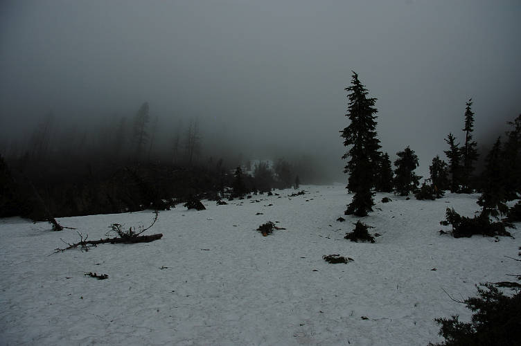
By noon Peter and I were shivering in the cold, sitting in the snow in a cloud bank past Lena Forks. We had over shot the climbing route and would have to bushwhack over to it. But that wasn't much of a worry. The cloud bank was. We wouldn't see much and that was going to make navigation a little delicate, given that there were several potential gullies to scramble up. Moreover, the weather was sitting on us. There was no wind and the fog was hanging out for the long haul. Not to be stopped, we started up, forcing our way through the forest, side-hilling, climbing, and descending, each when required, and finally fought our way onto snow after nearly two hours of effort.
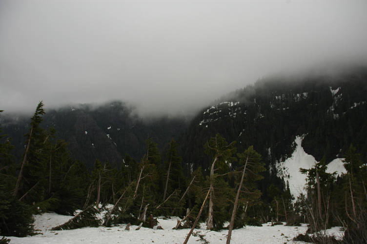
The weather looked worse. We dorked around with a map and a compass for a while before deciding to climb higher and see how things looked. Up we went into more clouds. And more clouds. It got a bit darker. It was past 3 when we broke through some isolated brush and onto the base of what we suspected was the South Couloir. And now we faced a decision. It was clear that the weather was not going away. We had time to make the summit if we didn't make many route finding mistakes, but that wasn't very likely. Even if we made the summit we wouldn't see anything along the way and would spend the night shivering in our bivy sacks in the fog. We could descend to some trees and bivy in the snow and hope for better weather in the morning. Or we could call it off and head home. We made tea instead of making a decision.
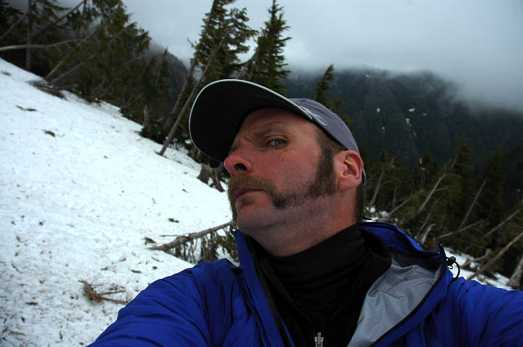
Caffeine makes you happy, and I wanted to be happy when we eventually made the decision, which really was already made. It generally isn't a good idea to climb into a cloud where you can't see anything and can't make good navigational decisions. Besides, bivying on top wouldn't bring with it any rewards beyond being able to say that we summitted. I wanted to get my once-a-year crazy facial hair to the top, but not that badly. Bivying in the snow would be possible, but it would not be much fun. And so out we would go.
We drank our tea in peace. No one else was foolish enough to be up here in the weather, though we heard some strange, human like sounds wafting through the fog and clouds, made possibly by another party, or by ghosts, or, most likely, by crows or ravens. We sat and enjoyed what we could of the views, which consisted only of what was within a few hundred feet of us. At least we got some exercise, I proffered.
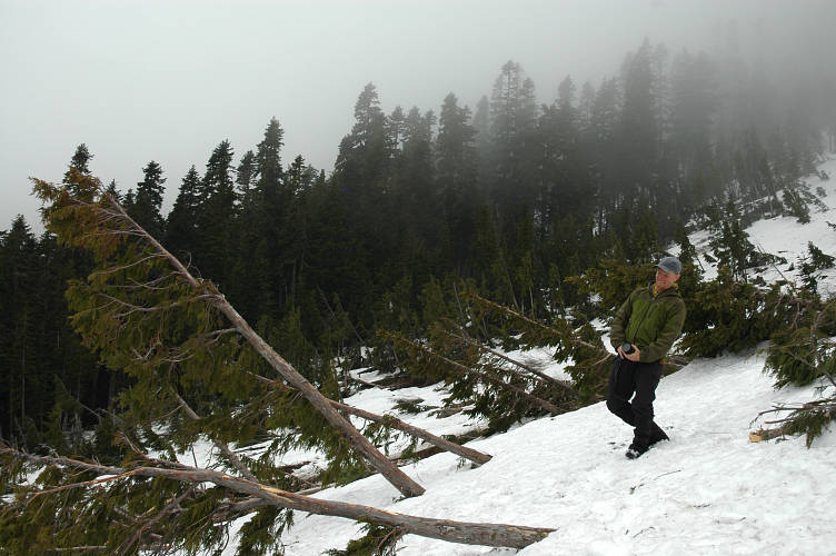
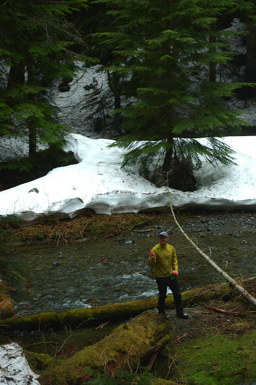
When it was time to descend, we didn't waste much time. Down the snow slope, into the woods, follow the creek out to the Lena Creek and the trail. Much more efficient that our bushwhacking on the way in. Cruise down the trail. Make fun of the campers at Lena Lake who were camped in a creek bed. Smell bacon cooking. Complain about sore feet. Three failures in a row. That's the biggest downside of climbing that I can think of: Failure. Climbing is, inherently, a succeed or fail proposition, and you will fail from time to time. Sometimes all the time. Maybe three times is enough. Maybe more time is required in purgatory.
Logistics
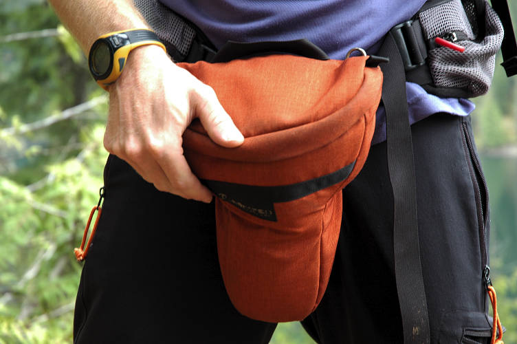
From Lakewood, drive I-5 south to Olympia and jump on US 101 heading north. Drive past Hoodsport and continue on for another twenty or so miles until you cross the bridge over the Hamma Hamma river (signed). Shortly thereafter, make a left at the Forest Service road where there is a sign to the Hamma Hamma Recreation Area. Follow the signs to the Lena Lake Trailhead. You'll need a parking pass of some sort here (NW Forest Pass, Golden Eagle Passport, etc). Take the Lena Lake trail up gentle switchbacks for about 2.5 miles to Lena Lake. Continue along the lake and pick up the Valley of Silent Men trail, which is signed for the Brothers. Fight your way up the trail to where two forks of the creek join. You'll know you missed it if you notice the level and noise of the creek is suddenly lower than before. Or, if you make an open area in which you can see the mountains to the left, on the other side of the creek, well. At the forks, cross the creek and pick up a well defined, but easy to lose, boot track up the fork to an open meadow. Follow the boot track through meadows and forest, bushwhacking when necessary. We didn't get above 4500 feet this time around.