Mount Ellinor, Olympic National Forest
September 2, 2010
Two weeks ago I was in the desert wastelands of Central Asia, struggling to keep calm in a land of infuriating actions and stunning scenery. It was bleak, brown, tan, brown, desolate, brown, beige, brown, brown, and light brown, with a little chocolate brown tossed in for variety. And now I was in the Olympics.
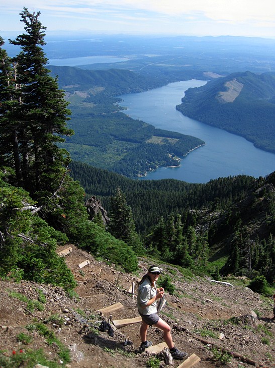
I've been up Mount Ellinor many times, but this time was different. Not only was I back in the lush perfection of one of my favorite places on Earth, but I was here with some one who was after her first Washington summit. The first of many. Ellinor was my first summit in Washington, and now it was her's.
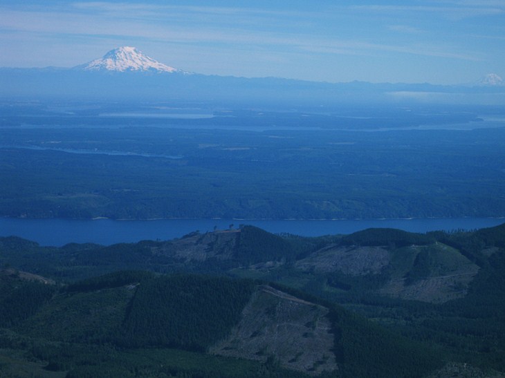
As we broke through the forest and into the subalpine, Mount Rainier came out for a showing, gaudy in its glaciers. Washington was home for me now and I had missed it as I rambled through the Indian Himalaya along the Pakistani border.
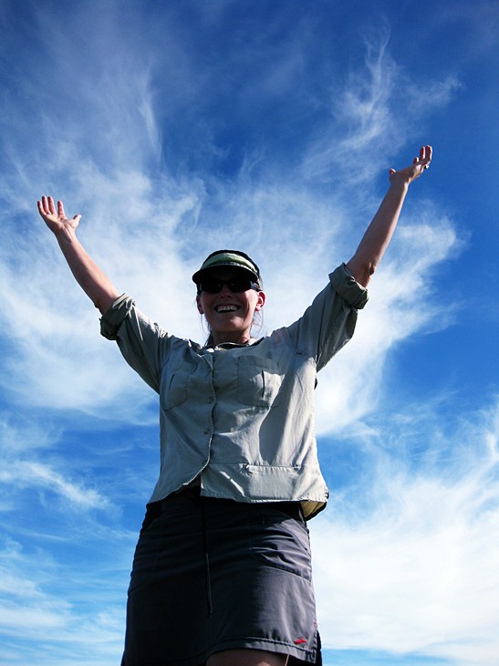
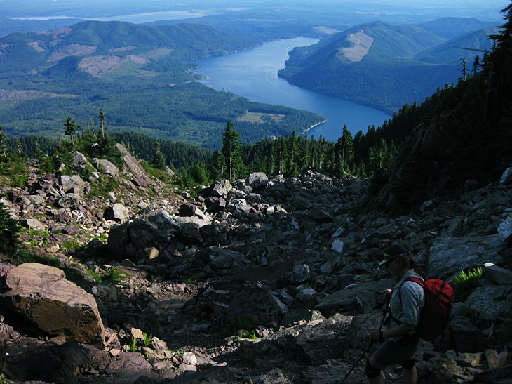
Even the simple green shrubs and the intricate wildflowers were missed, for I was without any semblance of greenery for five weeks. Shauna was exploding with energy as we ascended above treeline and made our way for the summit. A short climb, but one of the best in the state.
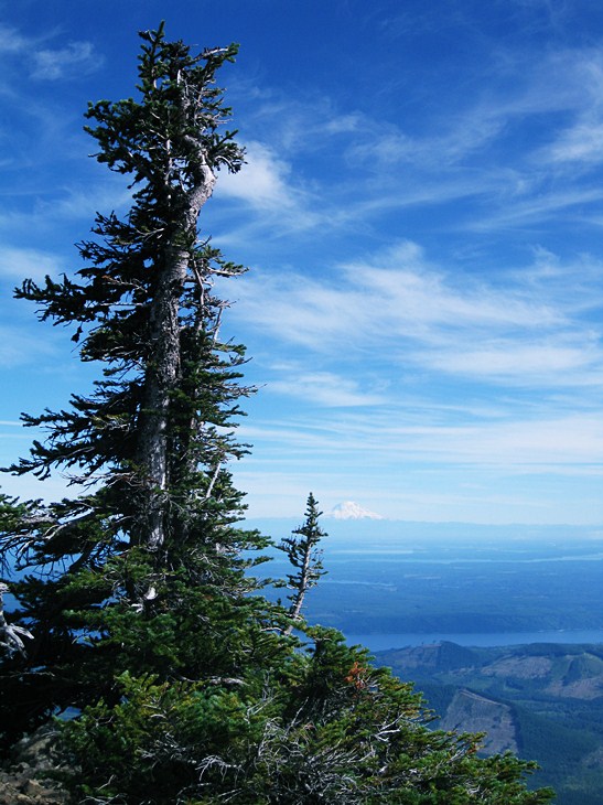
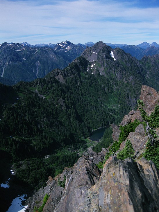
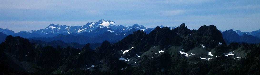
From the summit we could see, quite literally, everything in the state. The Pacific Ocean was easily made out. Mount St. Helens. Mount Adams. Mounts Rainier and Baker, Glacier Peak, Seattle, Hood Canal, Tacoma, Deception, Mystery, Olympus, Constance, Mount Washington, Pershing, the Sawtooth Ridge, Snoqualmie Pass, Mount Daniel. And on and on and on. Quite the payoff for just a little effort.
We broke out the beer for the summit and lounged in the sun with some chipmunks and two Germans for companions. The Germans seemed jealous. The chipmunks were bored and wanted candy. I threw rocks at them. The chipmunks, that is. Not the Germans, who laughed when Shauna yelled at me for chucking rocks at the furry ones and not at the Germans.
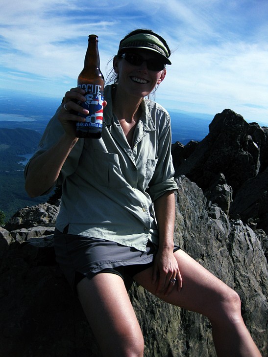
Ellinor is a popular place, but thanks to my lethargy and laziness we had squeezed in our visit between the early go-getters and the sunset crowd. Just the Germans and chipmunks. And the beer.
Ok, I'm running out of things to write about and still have more photos to show. But look at these! How can you not want to go for a short 45 minute hike to the top of a big mountain where things like the Sawtooth Ridge and Mount Olympus are right in front of you. No road, thankfully, goes to the top. There are many, many places like Mount Ellinor in Washington alone, let alone in the United States. We're blessed with the best system of protected, best maintained, best conserved public land in the world. It is hard to appreciate this until you leave it behind.
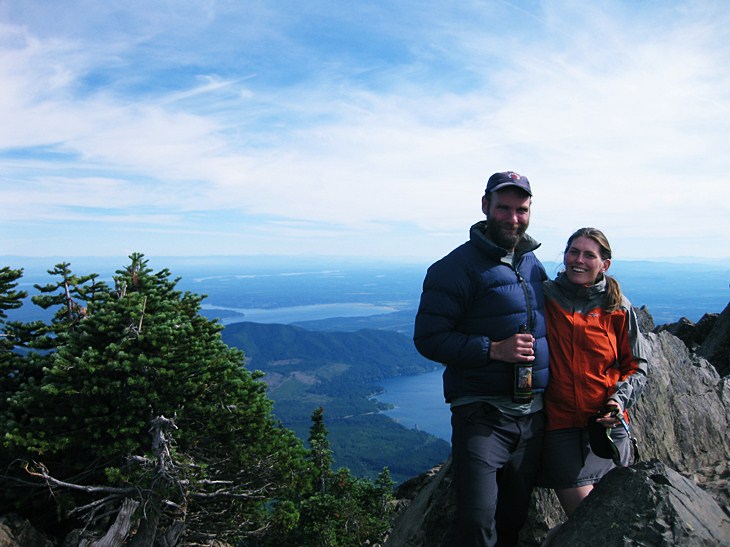
The beer was done and it was time to go back to the car and go back home. But the land was here and would be here in the future. We could come back and Mount Ellinor would still be here. It wouldn't be mined for gravel. The private lands around Ellinor had been clear cut. The public lands were pristine. The message was clear.
Logistics
From Lakewood, drive I-5 south to HWY 101 and take this through Shelton to the town of Hoodsport. In the middle of town, make a left onto SR 119 at the signed junction and head toward Lake Cushman - Staircase. Drive about 11 miles to where SR 119 hits a T-junction. Make a right and drive about 1.5 miles on a good gravel road (a few potholes) and then make a left turn on yet another gravel road that slants uphill. There is a beaten up sign now. The road is hard to miss and there is a sign (in the other direction) just past it. Drive up about 5 miles to the lower trailhead, which has a sign on it, or another two or three miles to the upper trail head. The road is narrow, but is in good shape and passenger cars will have no problems with it. To park at the upper trail head you'll need a Northwest Forest Pass or other parking permit (like a Golden Eagle Passport) or risk getting a ticket. You theoretically need no parking pass at the lower trailhead.
From the lower trail head to the top is a bit of a grunt. Two guidebooks list the distance at about 3 miles, but I think this is a little short (not by too much). Vertical gain is about 3200 feet, so the hike is a bit stiff. Starting at the upper trail head cuts off about 1.5 miles and a thousand or so feet of gain. From the lower trailhead to the upper by the road is about 2.6 miles. In good weather no special skills are needed to get to the top and this would make a great hike for someone in shape, but not used to exposure.