Granite Mountain, Mount Baker - Snoqualmie National Forest
April 18, 2009
I hate the o'dark 30 start needed for alpine climbing. I'd rather sleep until 9, drink some tea in bed while reading something Russian in flavor, and leisurely start the day. But here I was in Tacoma watching the sun come up after a night of insomnia getting ready to head into the hills.
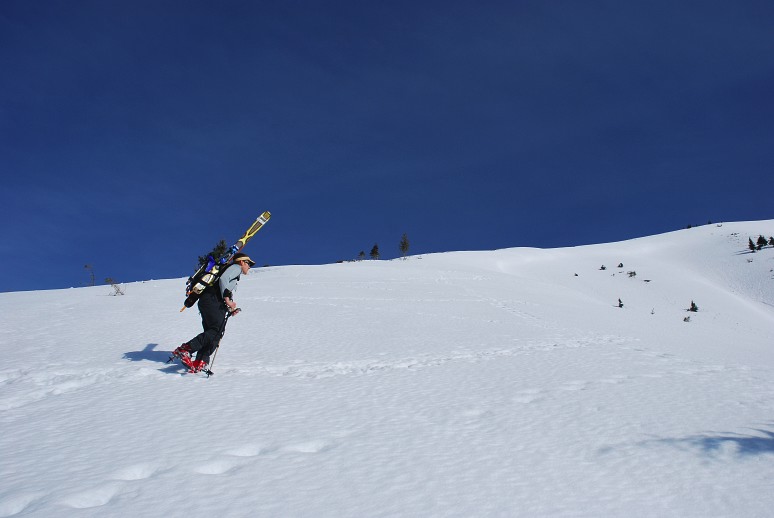
To be fair, getting up at 5 am isn't exactly early, and is pretty leisurely by Washington standards. The normal hour would be more like 2 am, with a 5 am departure from a trail head, followed by 14 hours of non-stop movement to get back to the car before it was too dark. But I'm old and decrepit now. Granite Mountain was close, the access easy, and reputed to be pretty. I'd never been up, despite it being in my backyard. K-dizzle and Winey were going to ski it.
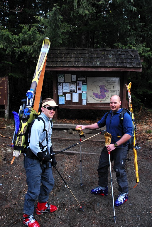
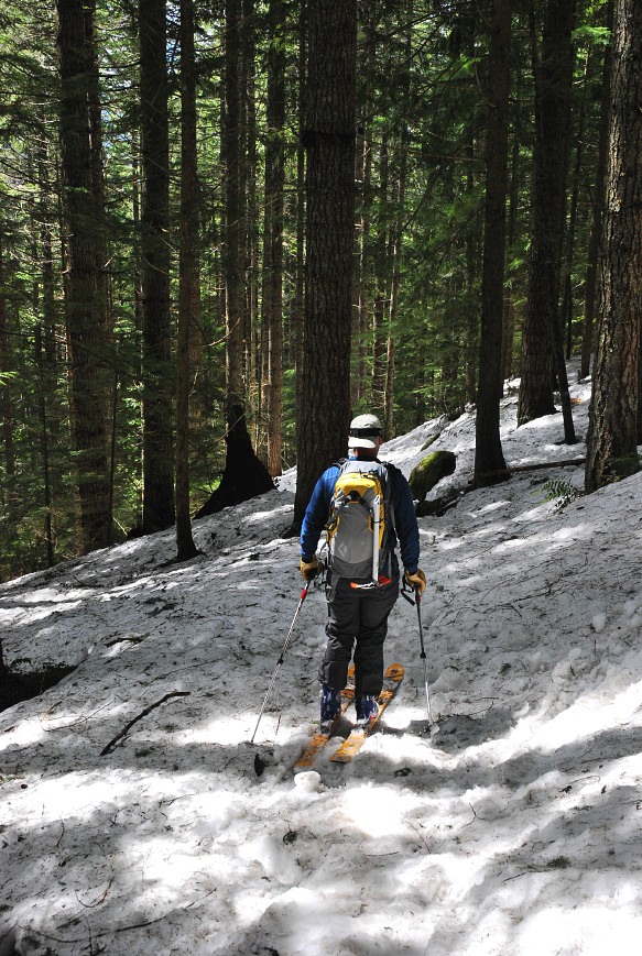
There were two other cars in the parking lot at 7:30 when we started up the trail into the woods. For the first ten minutes there was a little clear trail, but we were quickly on snow, climbing steadily toward a prominent avalanche chute.
Back in the 90s a huge avalanche tore off the side of Granite Mountain and came all the way down to the interstate, making Granite Mountain a very easily identified mountain on the Mountains to Sound Greenway (aka, the interstate). For us, it meant that rather than following the trail, which crosses the chute many times, we would instead head directly up hill through the woods and eventually across the open slopes.
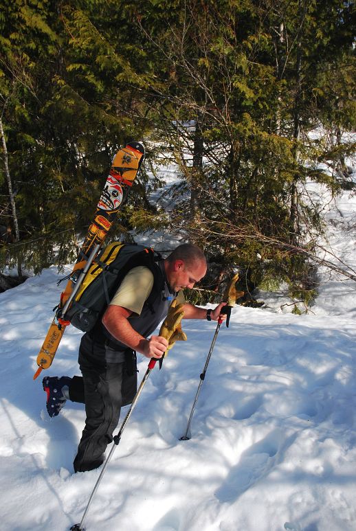
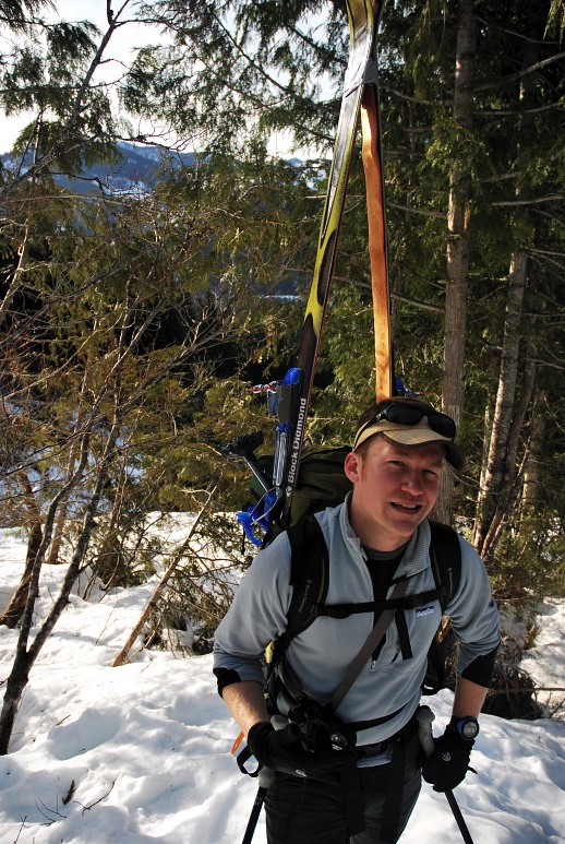
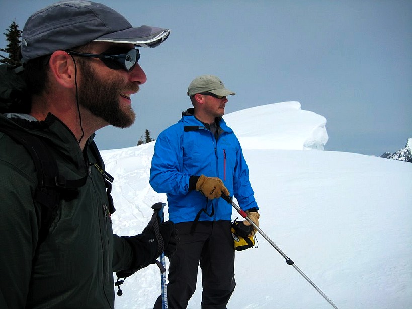
We broke through the trees at around 4000 feet and enjoyed the warm sun, though it meant that on the way down conditions wouldn't be terribly good. Rainier started to peak out in the south and the Snoqualmie Valley began to drop away from us. Kevin and I took a break at some exposed rocks for more clothing and food while Wayne continued to skin up the slope. A woman appeared below us, the only other person moving on the mountain, and starting climbing rapidly using the steps that we had kicked.
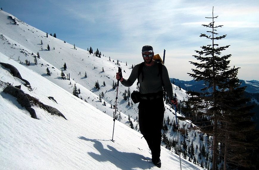
When I say,"we kicked", I of course mean Kevin and Wayne, for I was quite happy to let them do all the hard work. The woman passed up and caught up with Wayne and then moved slowly behind him, using the steps he laboriously worked into the snow.
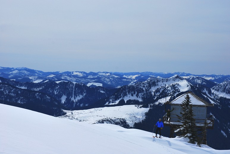
The wind, which had been howling, eventually slackened and even ended by the time we reached the summit. A small fire look out was on top would make for a great place to camp in the winter had it not been locked up tight.
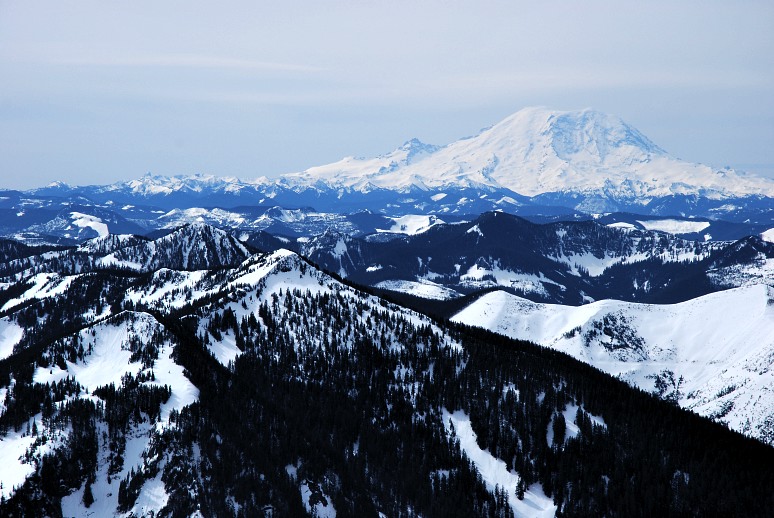
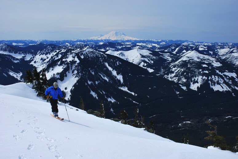
Rainier loomed to the south, an enormous mountain that is hard to appreciate until you see it up close for the first time. To get a sense of its size, that little, insignificant bump on the left shoulder of Rainier is Little Tahoma, the third highest peak in the state at around 11,000 feet.
We were all grins on top and had to repeatedly warn each other about getting to close to a massive cornice near by. But the views were so good, the air so clear, that it was easy to go wandering around and end up too close to the edge.
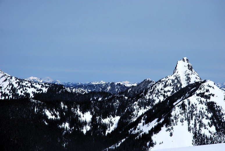
For example, in the below photo you can see Kahleetan Peak, the jagged tooth like mountain close by. And if you look on the skyline portion of the left side of the photo, the far white cone is Mount Baker, which is just south of the Canadian border. In the Rainier photo you can see (only if you have the original and can blow up it!) Mount Adams, down near the Oregon border.
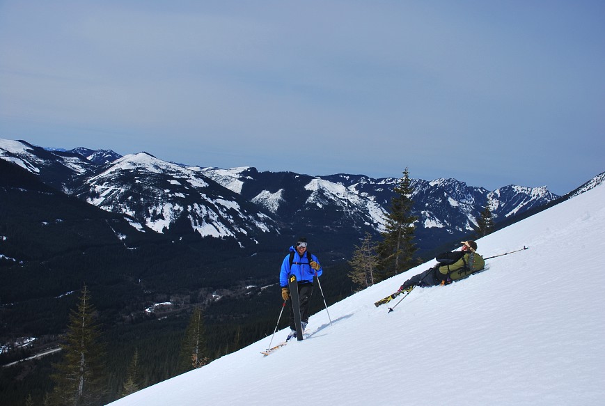
There isn't any good reason to include this photo, but I like it as it shows Wayne traversing around the cornice, with the Snoqualmie Valley down below and Mount Rainier in the background. This is my playground!
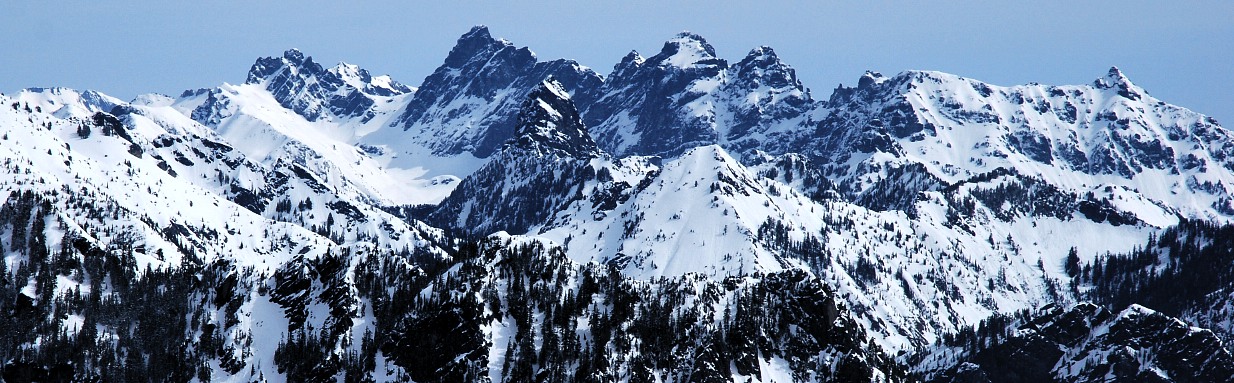
And some more of my playground! The black pyramid in the center of the photo is Mount Thompson, which I climbed in the summer of 2007. It took some arguing to convince it was, though, much to my embarrassment. The jagged ridge behind it consists of the Three Lemahs and Summit Chief, I think.
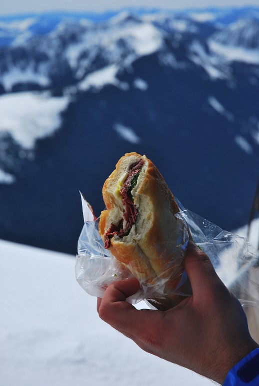
Kevin did the worm on top, but my photos didn't come out too well. Excitement died down and we settled in for lunch. I had an energy bar. Wayne had a pastrami sandwich, which he didn't share at all, despite my attempts to look pitiful.
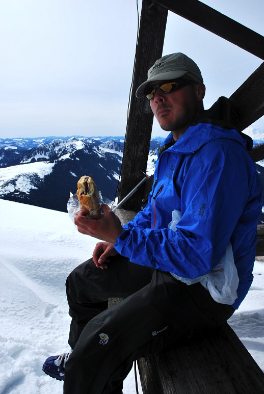
The Gold Standard has left Safeway, but at least they replaced it with something tasty. Whereas I'm trying to secure sponsorship from Steel Reserve, Wayne and Kevin are going after Safeway sandwiches.
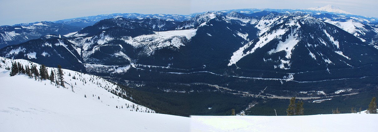
I could probably do without the below photo, especially since the stitching didn't go so well (see bottom, middle, for a change in exposure), but it again shows the Snoqualmie Valley nicely. We're more than 3000 feet above the interstate!
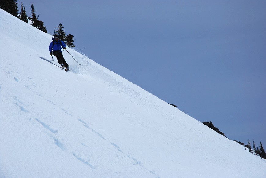
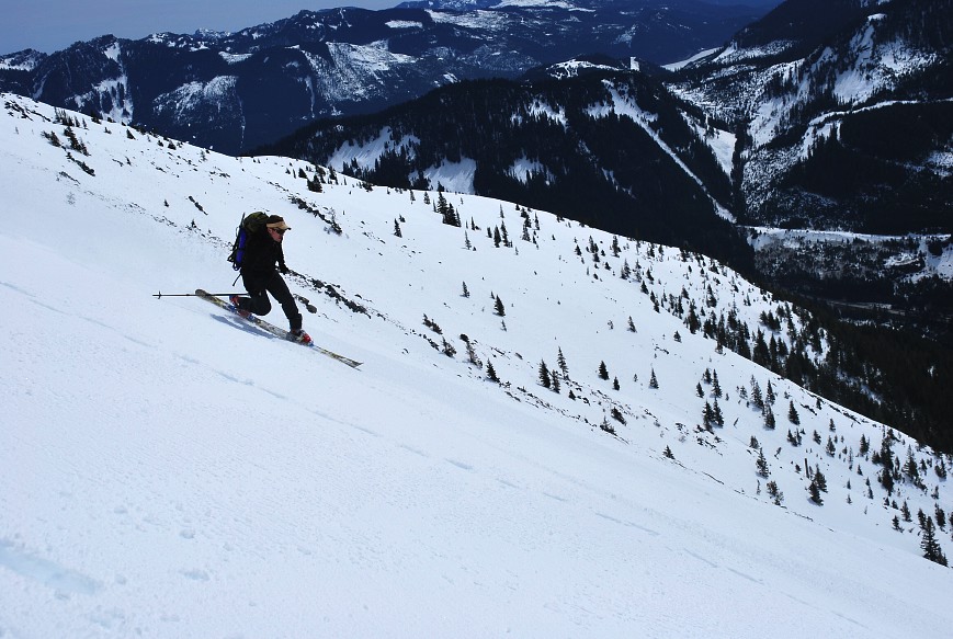
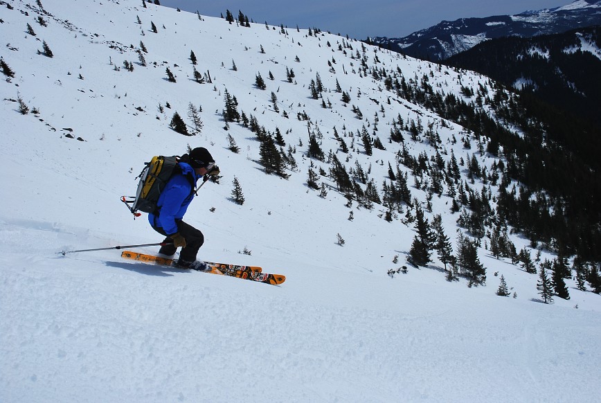
It was time to head down and I got a five minute head start so that I could get some action shots of the boys skiing down. I don't really have the equipment to do such things, but wanted to try anyways. A longer, faster lens and a camera with a larger buffer and a higher frame rate would be nice. Here is Wayne coming down the easier portion of the upper slope.
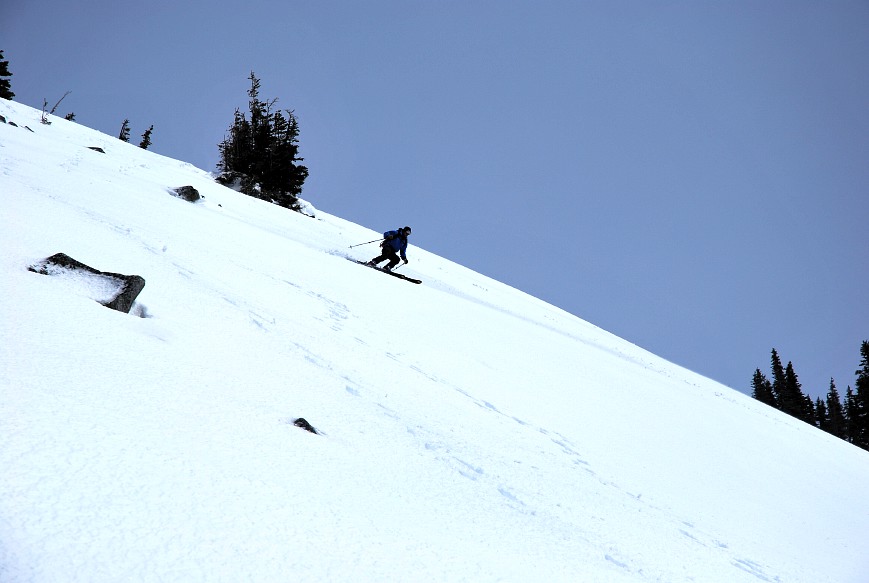
The terrain is pretty steep here, as you can see. Wayne had no problems and sent up some big rooster tails on his way down.
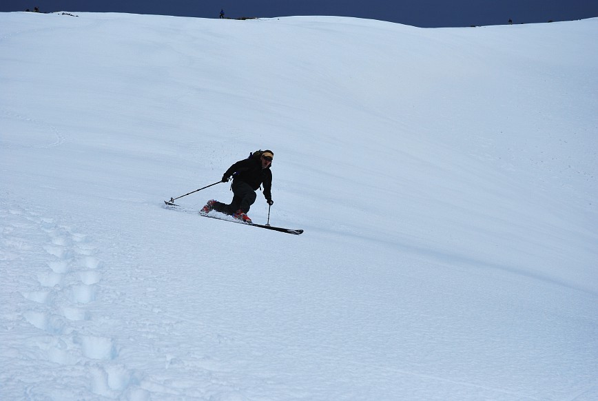
Unfortunately the buffer on my camera filled up at just the wrong moment and I missed a good shot of Wayne racing past me. I suppose a $300 camera has its limitations. But, I did get a shot just after he ripped past me. Note the ice axe on his pack. This isn't resort skiing.
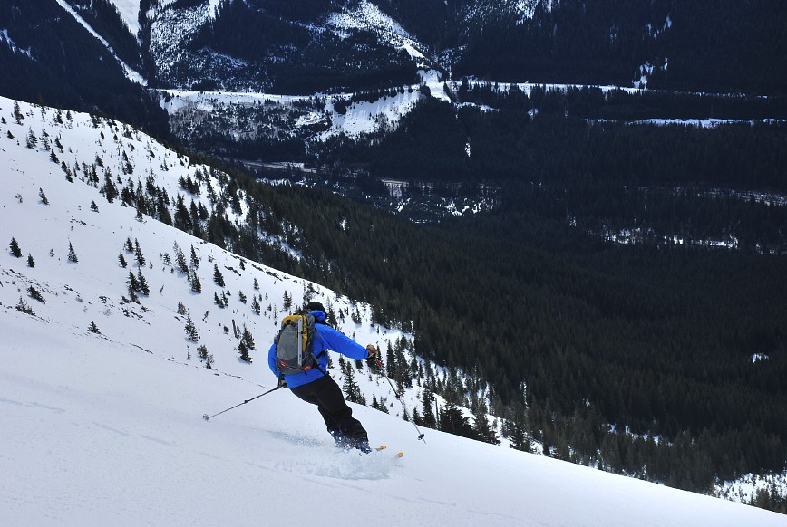
And a stylish finish. Wayne, by the way, is on AT (alpine touring) gear.
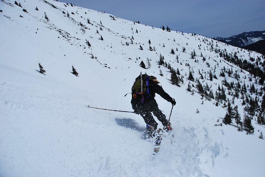
Kevin started down next on his tele gear. Even without being a skier, the differences between the two gear types is obvious and apparent when you see them in action.
In Telemark skiing your heel is free to move up and down, like in Nordic skiing. To turn you end up kneeling down (or up), and sometimes hopping about.
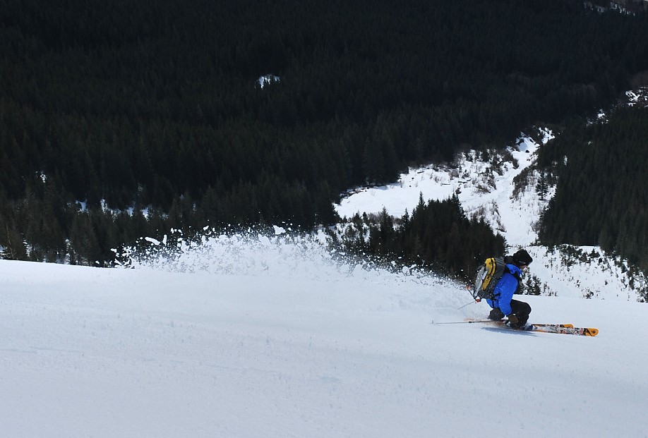
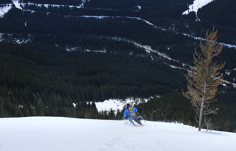
The below photo is actually from a run lower down on the mountain, but it shows a nice tele turn. The movement is very graceful and flowing, sort of like a dance.
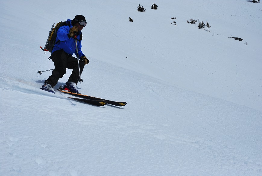
Kevin ripped past me on the second run, complete with snow spray.
With AT gear (also called randonee), your heel is free when going uphill on skins, but locks into place for down hill, like a resort ski. The result is a more powerful turn and, maybe, faster speeds and the ability to ski steeper terrain.
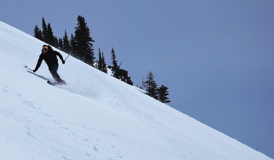
Unfortunately my buffer filled again as Wayne went past me and I missed a couple of good shots. If only I had a $5000 D3 and a $1400 f/2.8 lens I could have gotten a better shot. I'm pretty happy, though, with the $300 camera and $200 lens.
Once last shot of Wayne plunging down to the Snoqualmie Valley below.
After the second run I moved down through the soft, slushy snow and found Kevin sitting in a heap a bit dazed. Being the first one down the second run, he managed to locate a 4-5 foot high cornice and skied right off of it at full speed. Tucking up his legs and hoping for the best didn't quite work and I found his crash site to be about 15 feet from the cornice. He had hit and tumbled for a while, scraping his forehead a bit, bit otherwise healthy. Given that he had an ice axe on his back and a shovel, it could have turned out worse.
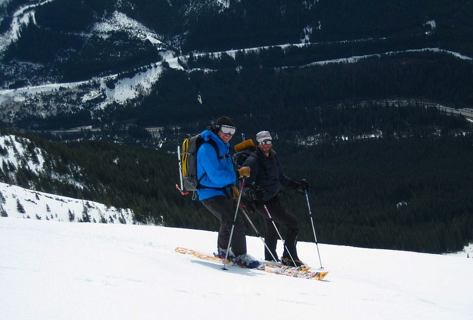
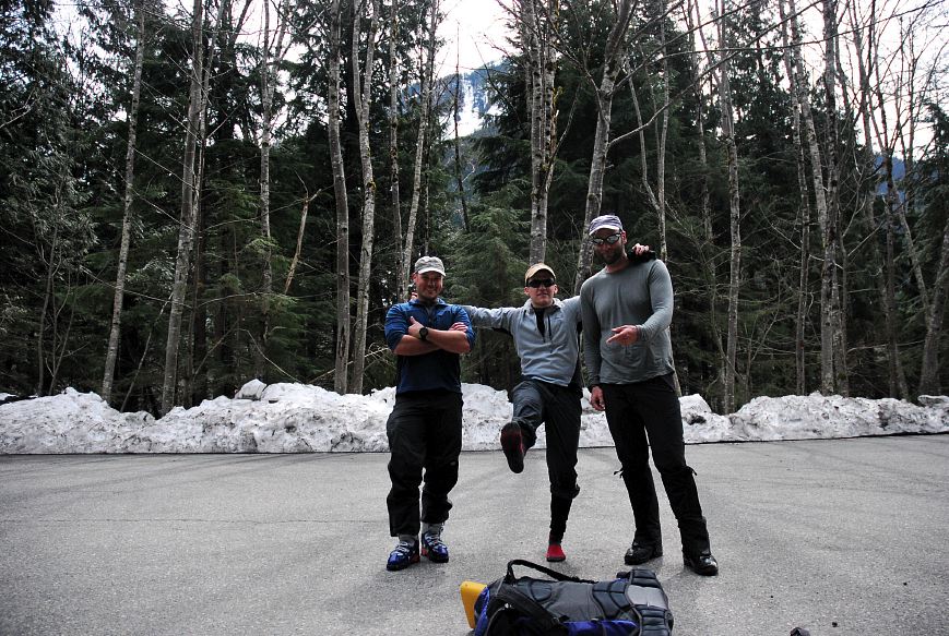
Kevin took a last picture of us together before we set off down the slope. It was getting crowded on the mountain with a lot of late starters sweating their way up through the soft snow. Wayne never smiles like this in normal life. Except, maybe, if he's had a liter of Breeder's Choice.
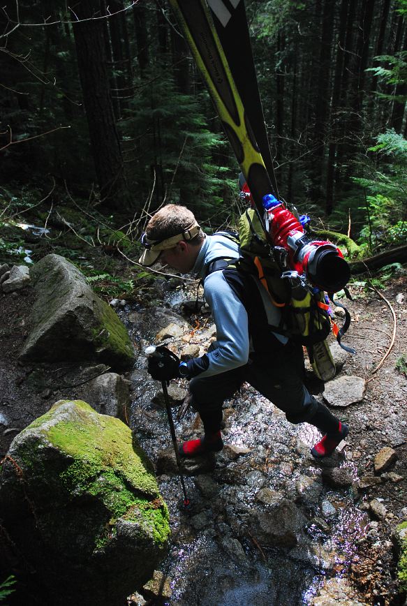
Wayne continued to ski down while Kevin and I made our way down on foot, battling the snow the entire way. Once we made it into the shade of the forest the snow firmed up nicely and we were able to move effectively once again.
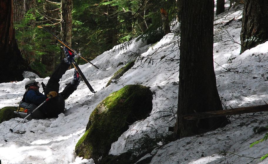
Well, maybe not so effectively. Wayne had a little run in with a rock at low speed, but unfortunately I had just put my camera away. Wayne tried to get up as quickly as possible before I could draw it, but I beat him and have this wonderful little prize for everyone to see.
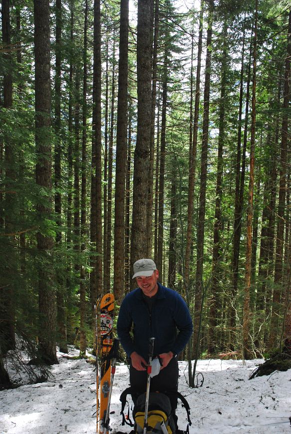
Wayne decided to take off his skis for the hike down to the truck after his little crash. Again, note the smile: This never happens!
While Wayne was taking his skis off Kevin decided to change socks. While doing so, Wayne and I hid his ski boots. When he realized what we had done, he looked and looked and looked for them, but couldn't find them. He checked his pack, our packs, around the corner, but we wouldn't tell no matter what.

Finally he got so mad and frustrated that he set off hiking in just his socks, through the snow and ice and bits of mud that were on the trail. When we got back to the trail and he found that his boots were on his skis, he wasn't very amused, but Wayne and I thought it hysterical.
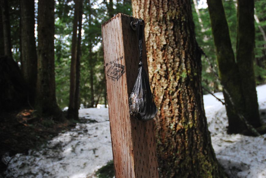
Some stupid tourist thought that it would be a good idea to pick up after their dog, but leave the bag hanging on a post at the trailhead. Nice thinking. Maybe they left it there because there are no trash cans? There isn't trash service at the trailhead, so you have to haul out your empty beer cans and fecal matter. Better, get your dog to crap in the woods, not on a trail, and don't worry about bags.
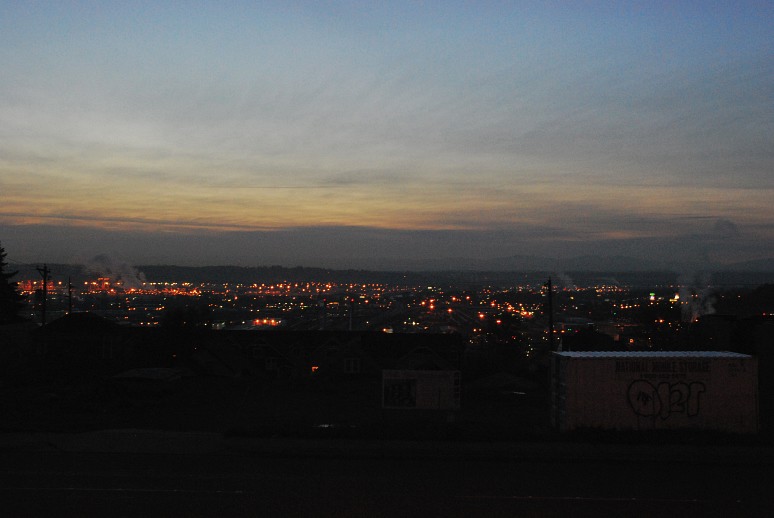
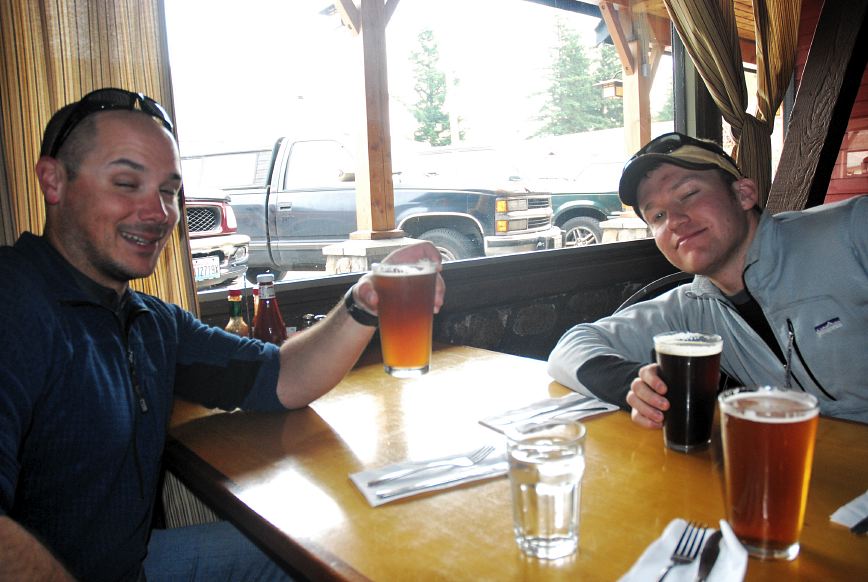
We were back at the truck by 1:30 and ready for some food and beer in North Bend. Some people were picnicing by the side of the road, next to the interstate. It looked like a pretty crappy place to picnic, given that cars were going by a 75 miles per hour just 10 feet away, but they seemed to have a plan.
We blasted down to the North Bend Bar and Grill, which had a rather good selection of beer on tap and a huge 2/3rd pound bacon cheese burger on the menu. I told Wayne to try to look pretty, and this was the best he could do. Really, this was like the eighth picture I took, and was the best by far.
Logistics
From Lakewood drive I-5 north to SR 18. Take that east to its junction with I-90. Drive I-90 to Exit 47. Make a left from the off ramp and another left toward the Granite Mountain trailhead. You'll need a NW Forest pass or equivalent to park legally here. The hike is popular, so get started early to avoid crowds. In the winter and spring there is severe avalanche danger and the route is a steep snow climb to the northeast ridge. Due to the number of avalanches, you break tree line at around 4000 feet. The snow was hard and the conditions were mostly good (only a little wallowing) on the way up. However, the sun rapidly warmed things and I was postholing to my thigh every step. In the summer there is a big trail to follow. The climb is about 3800 vertical feet and in the summer the trail is 4.5 miles to the top. The direct route is shorter, perhaps 2.5 miles and it took us about 3 hours, including breaks, to get to the top.