Little Lundin Peak, Mount Baker - Snoqualmie National Forest
May 6, 2006
The grey skies overhead and the fact that we couldn't see much of Guye Peak, despite its proximity to the interstate, were not especially encouraging for our chances of making the top of Lundin Peak this morning. Regardless, myself and ten other members of the Mountaineers set off with ropes and various bits of snow protection in a bid to make it to the top. We decided to bring our snow shoes but leave our crampons behind, a decision that would make a later decision much easier.
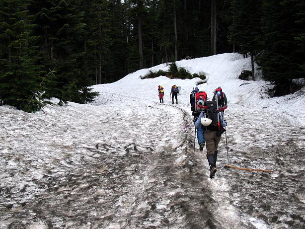
The trailhead for the PCT was completely snowed over, with perhaps a base of six feet of snow, allowing us to stand at near the level of the roof of the outhouse. It had been a good year for snow in the Cascades, but the Midwest kid in me thought it preposterous that here, at 3000 feet above the sea, in early May, there could be this much snow.
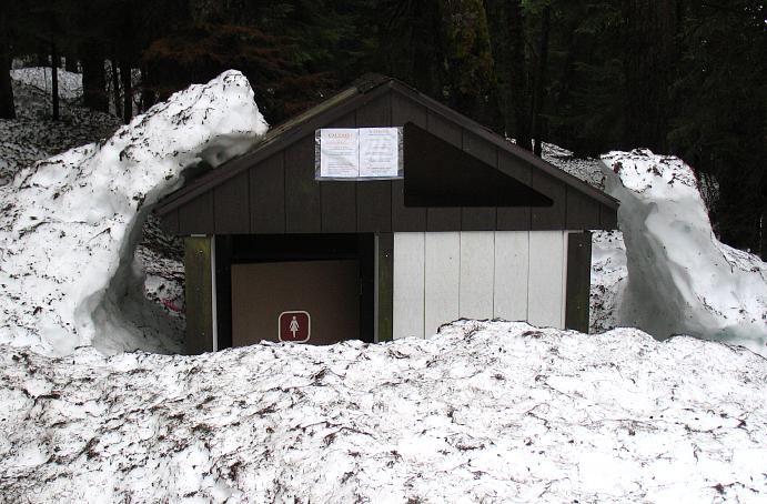
I had climbed up to the first false summit of Lundin Peak back in July of last summer, but the conditions between now and then made it seem like a much different location. In July, the skies had been blue, the air warm, and I had thumped up to the top in an hour and forty five minutes, loping along a fantastic trail all the way to the top. Now, we didn't even have a trail, as it was quite buried beneath the lingering snow.
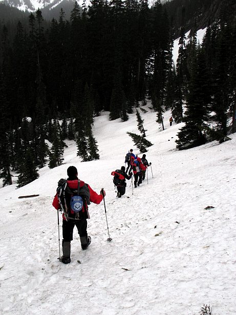
I trailed along toward the back of the pack, chatting and socializing, instead of brooding or philosophizing, my favorite activities while out hiking alone. We cut through the woods and then ran along a valley, traveling in roughly the right direction. The softly falling rain turning to snow as we gained in elevation. Given that we were going to have to do some rock scrambling on slabs to make the top of Lundin, I wasn't exactly thrilled by the precipitation, but it did make things more atmospheric.
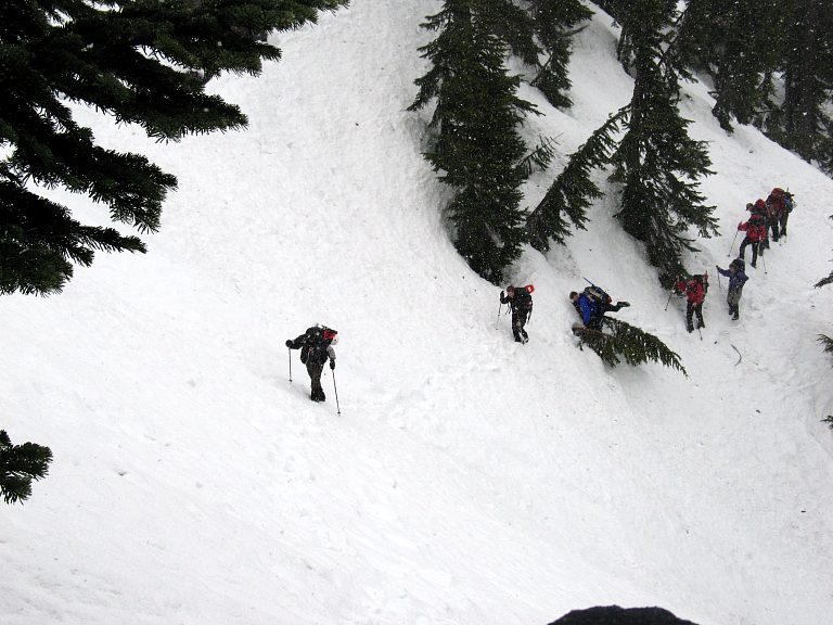
The snow was mixed with thick fog, which made navigation somewhat problematic: Without the aid of seeing where we needed to go, we resorted to going where we could and where we thought we needed to be. Occasionally the prominent notch in between Lundin and Red Mountains came into view, allowing us to correct our course.
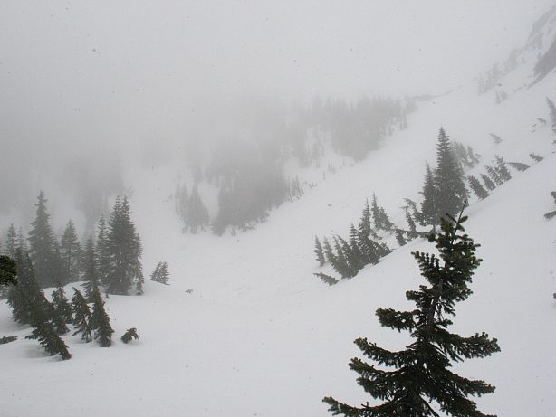
We made the final push around cornices and trees to the top of the first false summit, which I had called Little Lundin last summer. From the top, through the snow and sleet, we could barely see the rest of our route. The more experienced members of the party went for a closer look, but conditions didn't seem favorable to me. From the false summit we'd use an arm rappel (hold on to rope, scramble down) to a small rock ridge (no problems there), which led in about twenty feet to a very steep, corniced slope that we'd take around the second false summit (bad). The snow was hard, we were without crampons, and the consequences of a fall included a 600 foot flight out into space. While a running belay with pickets and ropes could be used, the overall experience of the group, along with our lack of crampons (sitting safely in the cars), made the decision not to go on easy. Besides, the summit was a slab scramble, and trying to friction on snow covered rocks isn't very easy.
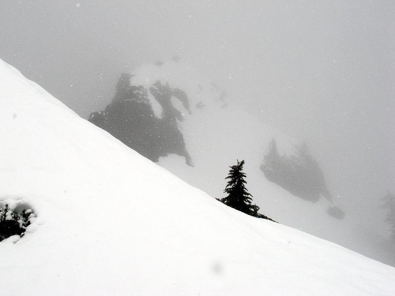
The fog was thick enough that we couldn't see the final peak, though Red Mountain did come out occasionally for us to gawk at. In the summer, Red Mountain really is red, colored by minerals, but now, in May, it looked like a rather awesome snow peak (though easily climbed).
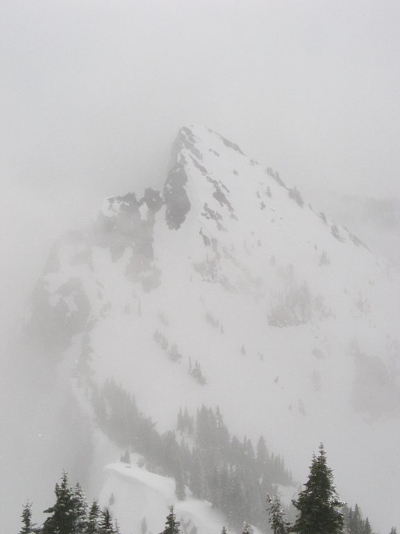
Knowing that we wouldn't be pushing on through dangerous conditions lightened the hearts of the various members of the group and we spent nearly an hour chatting, eating, and relaxing in the blowing snow before heading back down the slopes.

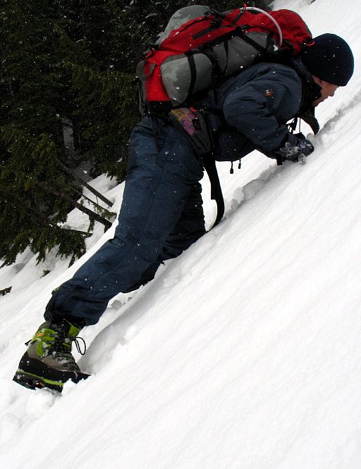
Descending on the snow proved much easier than going up it, and the long run outs provided excellent glissading (sliding on your backside) and boot skiing (repeatedly falling over).

It also allowed us to get some practice in self arresting with our axes and generally romping in the snow. It is much easier to play when you are not worried about falling off a mountainside, and everyone seemed thrilled to be out in the white stuff, even though we hadn't made our objective.
Making an objective or a goal is important only to people who are focused on a goal or objective. I've changed into a process oriented, rather than goal oriented, person, caring more for the actual doing-of-something, rather than the obtaining of something.

That is, reaching the actual summit was less important to me than the process of trying to reach the summit. Of course, holding a doctorate in mathematics and having done a speedy hike of the PCT seem evidence to the contrary, but again the importance was the process, not the end-goal.
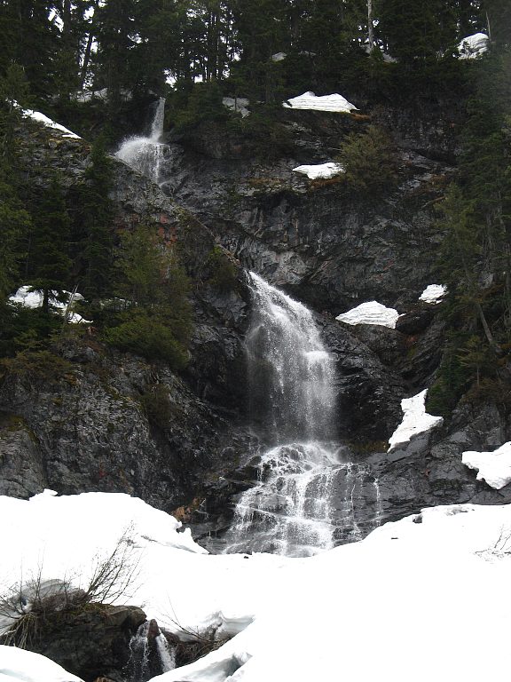
The last few miles back to the highway seemed to take a rather long time, as all were tired, but the people in the climbing party were interesting, fun people to be with. Although the time passed slowly, was a long, slow, very pleasant walk back to the highway. We made plans to come back in a month when the snow would be less and the weather more stable. It didn't matter to me if we failed then as well. So long as the trip was fun and safe, I'd be happy.
Logistics
From Lakewood, drive I-5 north to State Highway 18 and follow this to I-90. Head east on I-90 to exit 52 (marked as "West Summit") and get off the interstate. Make a left from the off ramp and drive a hundred feet or so to the entrance for the PCT trailhead. You'll need a Northwest Forest Pass to park legally, or something like the Golden Eagle Passport, which is what I have. If the lot is covered in snow (as it was in May), take a right after exiting the freeway and park in the parking lot immediately on the right (you won't need a parking pass here). In the snow, you won't have a trail to follow and hence you'll need to look at a map to find your way. Generally speaking, follow the PCT up to Commonwealth Basin trail junction and follow that trail as it climbs to a small tarn at the base of Red Mountain. Take a trail or snow up to the notch to the left of Red and then run the ridge up to the false summit of Lundin Peak (Little Lundin). Without snow, it took me 1 hour and 45 minutes to ascend in July. With snow, it took us 3 hours and 40 minutes to make it to the same place.


