Mount Si, State Conservation Area
March 11, 2009
I needed to breathe some fresh, clean air for once, having been thwarted for the last few weekends by nasty weather. A ridge of high pressure built over the Puget Sound region after a heavy snow dump, at least for us, and I wasn't about to let the sunny weather pass. Besides, it's fun to leave work at 11 am. There wasn't enough time, and the snow was too high, to do something epic, so a saunter up Mount Si, the local prostitute, was in order.

Mount Si is one of the local training peaks and of them is considered to be one of the easier. That doesn't mean it won't work you, especially if you are intent on going fast. There was snow almost from the very beginning, which made for bad footing at times and a slower than normal pace. There were only a few other hikers out, and these were on their way down. After forty minutes I had the place to myself until near the top, where I met a single hiker coming down.
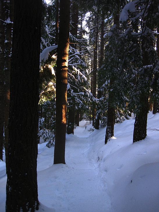
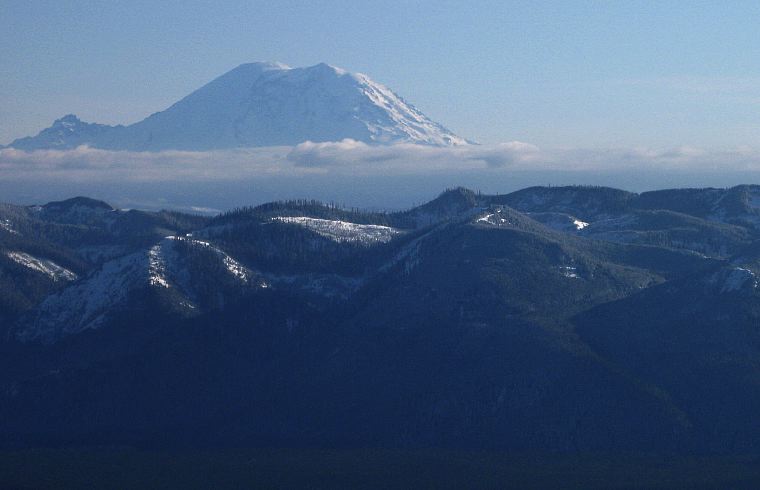
The trail is completely in forest for the entire romp to the top, but once you get there the views are pleasant. Mount Rainier loomed in the south, wearing a thick coating of snow. The mountain on the left that looks like a little bump is Little Tahoma and is the third highest peak in Washington at more than 11,000 feet. It looks like a runt next to the Big Fatty, but is a very impressive mountain in its own right.
Mount Si isn't big enough to see the peaks of the Alpine Lakes Wilderness, but there is a nice view down into the Snoqualmie Valley: From near the pass in the east (the white streak below is I-90 heading east to the pass) all the way through North Bend, Issaquah, and on to Seattle itself, whose skyscrapers are easily seen.

Puget Sound stands out and beyond the water the Olympics. The Brothers were easy to spot. Almost all of the hike is viewless, but the reward on top was quite sufficient.

Logistics
Mount Si is located near North Bend, WA and is the prominent peak, a foot hill of the Cascades, that you first see on I-90. From Lakewood, drive I-5 north to SR18 and take that to its junction with I-90. Drive I-90 east to Exit 32. Get off the highway and make a left. Follow the road for about a half mile to North Bend Way. Make a left and drive for about 1/4 mile to Mount Si Road. You'll see a shacky espresso stand and there is a sign sometimes. Make a right and drive for about 3 miles past the Little Si trailhead to the main parking area. There is a sign. Pull in and park.
The trail to the top is 3.8 miles one way and gains about 3600 feet. It can be snowy, but you can get up it without crampons if you really want to. It can take between 1 and 4 hours to get to the take, and another 90 minutes to get down.