Lundin Peak, Mount Baker - Snoqualmie National Forest
May 28, 2006
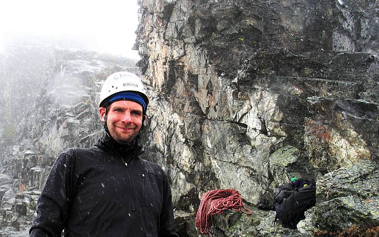
The rain pounded down on Steve's Nissan as we powered our way up I-90 in search of Lundin Peak. The four of us had originally planned to be climbing in the Monte Cristo area over Memorial Day weekend, but the poor weather made the extended outing to Silvertip and Foggy Peaks a rather poor idea. Instead, we had waited out the weather on Saturday, which turned out nice, and tried for Lundin on Sunday. The rain didn't give me much confidence in our success, but I hoped that a fun time would at least be had by all.
The snow at the pass had melted and consolidated to the point where the level was perhaps three to four feet lower than three weeks ago, when I had failed to get to the top of Lundin with a much larger party. Indeed, we were even able to park in the lower reaches of the PCT/Commonwealth Basin trailhead parking lot, a feat we were denied three weeks ago.
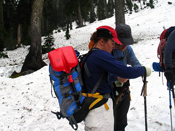
The rain had let up by the time the five of us spilled out of Steve's truck and was replaced by a soft mist. Firm snow once again gave us good footing as we wound our way cross country through Commonwealth Basin. As atmospheric as the mist was, it made route finding rather difficult as we could not see any of the nearby peaks and hence we made several course corrections, lengthening our approach somewhat. The mist turned to rain at times and, as we gained elevation, into sleet.
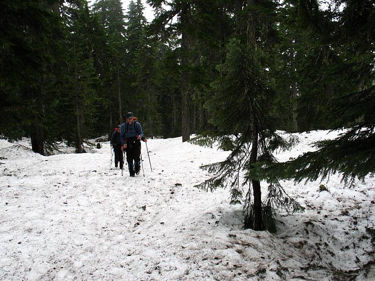
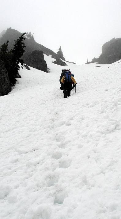
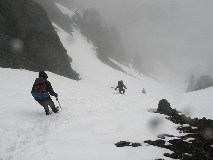
After three hours of forest walking and creek crossings, fortunately all on solid snow bridges, we emerged from the woods into the open head of Commonwealth Basin and gazed up at what we suspected was our objective. A prominent snow gully (shown in the middle of the below pictured, trending from center left to upper right) led to what we suspected was either the gap between the first and second false summits of Lundin Peak, or perhaps to the notch between the second summit and the true summit.
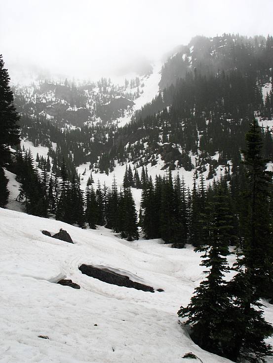
In the midst of the sleet we checked our respective maps and compasses several times trying to verify where we were and what we were looking at, with the mist being the central problem: Neither Red nor Snoqualmie Peaks were visible, let alone Lundin. We had taken a much different route than I had either of the two times I had approached Lundin, though we eventually came to the conclusion that the route of three weeks ago was well to our right.
The gully looked steep from our vantage point, and long, but was direct and headed in the right direction. The five of us took turns kicking steps up the gully, rapidly gaining elevation on the thirty degree lower slopes. About midway to the top, the grade steepened to forty degrees, with an occasional run of forty five degrees, prompting a lot of sweat to flow from all of us. However, due to the work of all five party members, no one ever reached exhaustion and the progress up the 1400 foot climb was quick.
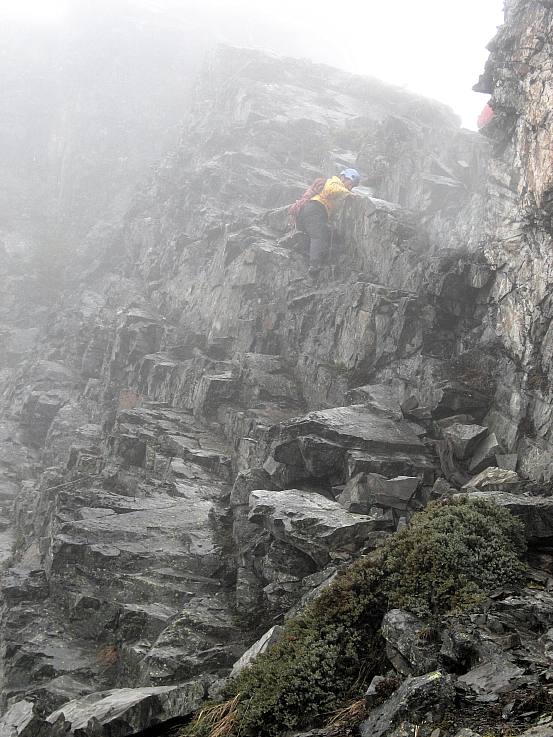
At the top we found a narrow, rocky ridge and a question as to where we were. I was certain that we were at the gap between the first and second false summits, but others were not so sure, believing that the ghost-like substance in the distance, floating in and out of the mist, had to be the first false summit and hence the peak on our right was the true summit of Lundin. Without being able to verify things visually, we had to try to find out for sure by experience. If we were at the notch between the first and second false summits, then we would have to traverse around the backside of the peak above us, which we promptly tried to do. Climbing rock and then snow, we found our way hopelessly barred by snowy cliffs. Retreating, we headed up the rock and spotted large slabs, we indicated the true summit of Lundin. Various bolts further confirmed that this was the true summit.
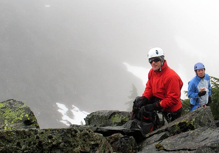
Looking up, we had twenty vertical feet of easy scrambling to make the summit. Unfortunately, the twenty vertical feet consisted of wet, slippery rock. An easy walk in dry weather, it was dangerous in wet. Steve and Julie, the most experienced of our group, scrambled up with a rope to set a handline but found nowhere to set a solid anchor for whomever would lead across the upper slab to the top. To make matters worse, there was no place to protect the leader as they made there way across the slab. As the rest of us sat in the mist, Julie and Steve made the decision, wisely I think, to not risk the remaining twenty feet. I was denied Lundin yet again.
Now that the ascent was ended, spirits erupted in joy knowing that we would soon be heading down to safety and a warm vehicle. Various treats were passed around and warm clothes put on to increase the mood. After twenty minutes of lounging in the wind and mist and snow, for the sleet had solidified here at the top, we cautiously set out for the bottom.
People frequently die on the descent of a mountain due to carelessness and the above mentioned feeling of safety after reaching the point of furthest ascent. Descending the wet, slippery rock in a careful fashion, we made it onto the snow and delicately plunge stepped down the gully. Mini avalanche slabs, about the size of a cafeteria food tray broke off frequently, but this was about as dangerous as it got. Twenty minutes later saw us back down at the head of the valley, ready for the plod back to the car and a hot meal, smiling and happy that we had had, despite the weather and the missing twenty feet, a fun time.
Logistics
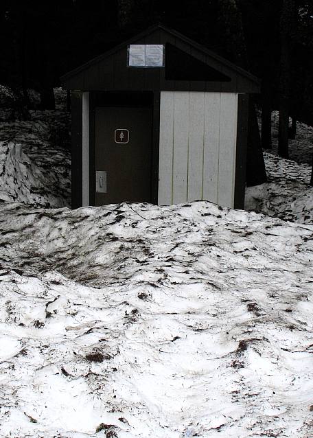
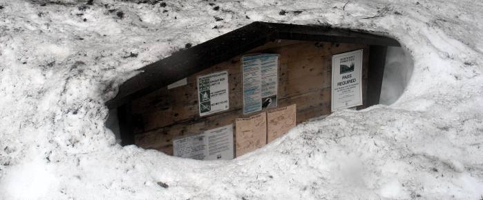
From Lakewood, drive I-5 north to State Highway 18 and follow this to I-90. Head east on I-90 to exit 52 (marked as "West Summit") and get off the interstate. Make a left from the off ramp and drive a hundred feet or so to the entrance for the PCT trailhead. You'll need a Northwest Forest Pass to park legally, or something like the Golden Eagle Passport, which is what I have. If the lot is covered in snow (as it was in May), take a right after exiting the freeway and park in the parking lot immediately on the right (you won't need a parking pass here). In the snow, you won't have a trail to follow and hence you'll need to look at a map to find your way. Generally speaking, follow the PCT up to Commonwealth Basin trail junction (not really marked). Head up Commonwealth Basin until you can see Lundin, sandwiched more or less in between Red (on the right) and Snoqualmie Mountain (on the left). Spy a small waterfall coming off a plateau above you. When there is snow on the ground, you'll spot a long, steep looking gully filled with snow heading up to a notch to the right of the summit. If there is no snow on the ground, turn around and go another direction. Climb the snow gully to the top, where you'll find a slabby scramble to the top. In dry weather, it is a walk. If the rock is wet, it will be difficult.